
Guides · updated 14 August 2026
Fire weather: understanding wildfire risk
The “fire triangle” has three sides: dry fuel, oxygen, a heat source. Weather drives the first two, which is why a few weather indicators estimate the day's danger remarkably well.
As of 28 September 2026, kanari has archived 39,362 significant satellite-detected fires worldwide since August 3, 2026, including 280 in France. Source: kanari.io, open data (CC BY 4.0).
The three factors that make the danger
Vegetation dryness first: after weeks without rain, grass and brush become fuel ready to ignite at the slightest spark. Air relative humidity next: below 30%, fine vegetation dries out in hours. Wind finally: it feeds oxygen, lays flames forward and throws embers sometimes hundreds of metres ahead. Wind is what turns an ignition into a disaster.
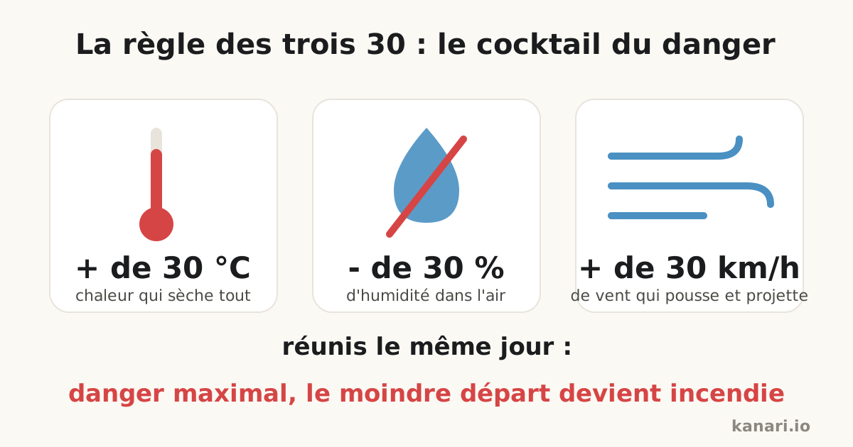
The most feared combination fits in three numbers: above 30 °C, below 30% humidity, above 30 km/h of wind, the “30/30/30 rule”.
Official fire danger ratings
Most fire-prone countries publish a daily fire danger rating: Météo-France's “météo des forêts” map (green to red, per department, since 2023), the US National Fire Danger Rating System, Canada's Fire Weather Index (FWI), which has become the international reference formula. At the highest levels, access to some forests is legally restricted.
kanari shows an estimated weather risk on each French department page, computed continuously from the same ingredients (temperature, humidity, wind, recent rain). It gives the real-time trend without replacing the official maps, which carry legal force.
What the risk changes in practice
On high-risk days, mundane actions become dangerous: outdoor work with spark-generating tools, barbecues, cigarette butts, parking on dry grass (a catalytic converter can ignite it). Firefighters pre-position resources and water bombers fly armed patrols: attacking a nascent fire within 10 minutes multiplies the chances of stopping it before the first hectare.
The right reflex: check the day's risk in the morning, avoid any flame or spark, and keep an eye on the real-time map when the wind picks up.
Frequently asked questions
What is the 30/30/30 rule?
The most dangerous weather combination for wildfires: above 30 °C, below 30% relative humidity and above 30 km/h of wind. Together, these three conditions turn the slightest ignition into a fast-moving fire.
Where can I check today's fire risk?
National services publish daily ratings: Météo-France's forest weather map in France, the National Fire Danger Rating System in the US, the Fire Weather Index in Canada. kanari also shows a continuously computed estimated risk on each French department page.
What is banned on very high risk days?
At the highest ratings, access to some forests is legally restricted. Barbecues, cigarette butts, burns and spark-generating work must be avoided, and simply parking on dry grass can start a fire (catalytic converter).
See the live situation: world wildfire map · water bombers live · live statistics
Also worth reading
What to do during a wildfire: the reflexes that save livesHow does a Canadair water bomber work?How do satellites detect wildfires?Smelling smoke outside: how to check if there is a fire near you
kanari is an independent, free information service, not an official alert channel. In an emergency call 112 (EU), 911 (North America) or your local emergency number.